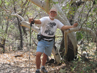
 and then came to pines in a canyon. We were short of breathe with the elevation of around 5000 ft and with the sun we stopped at every shady spot.
  Arrived at the end to find a dried waterfall.
  We sat for a while enjoying the peace.
Good thing we did it in the morning. Started at 10 am it took 2 1/4 hours to go up and only 1 1/4 hours down. If it wasn't for a virtual geocashe we probably would have turned back. The cashe was the waterfall.
We continued doing geocashes afterwards. First was to Glenn Springs a military outpost of the 1800's. All cashe's in national parks have to be virtual as in looking only. The thing we had to do for this one was count the graves. There were 10.

The next cashe was the Hot Springs.

We had to find the store
 and report on who ran it and what years.
Now for the lost mine hike on Wednesday. That hike was 4.8 miles long and an increase in elevation for 1250 feet. But unlike yesterday where we struggled in the heat going from shady spot to shady spot it was cooler and had many switch backs so the uphill climb wasn't hard and we went from sunny spot to sunny spot. The view from the top was awesome.

We could look down to where the car was parked.
 See the road in the center? At the top end of that was where we parked. Now in this picture we are looking up to where we were.
  It is the pillar on the far right of the ridge.

3 comments:
Whew! You're wearing me out!
I truly enjoyed reading about your hikes, I admire your gusto!
Wow, that's just spectacular! I wanna go back!
Post a Comment